

MyForest



Communities Monitoring Biodiversity and Environmental Risks
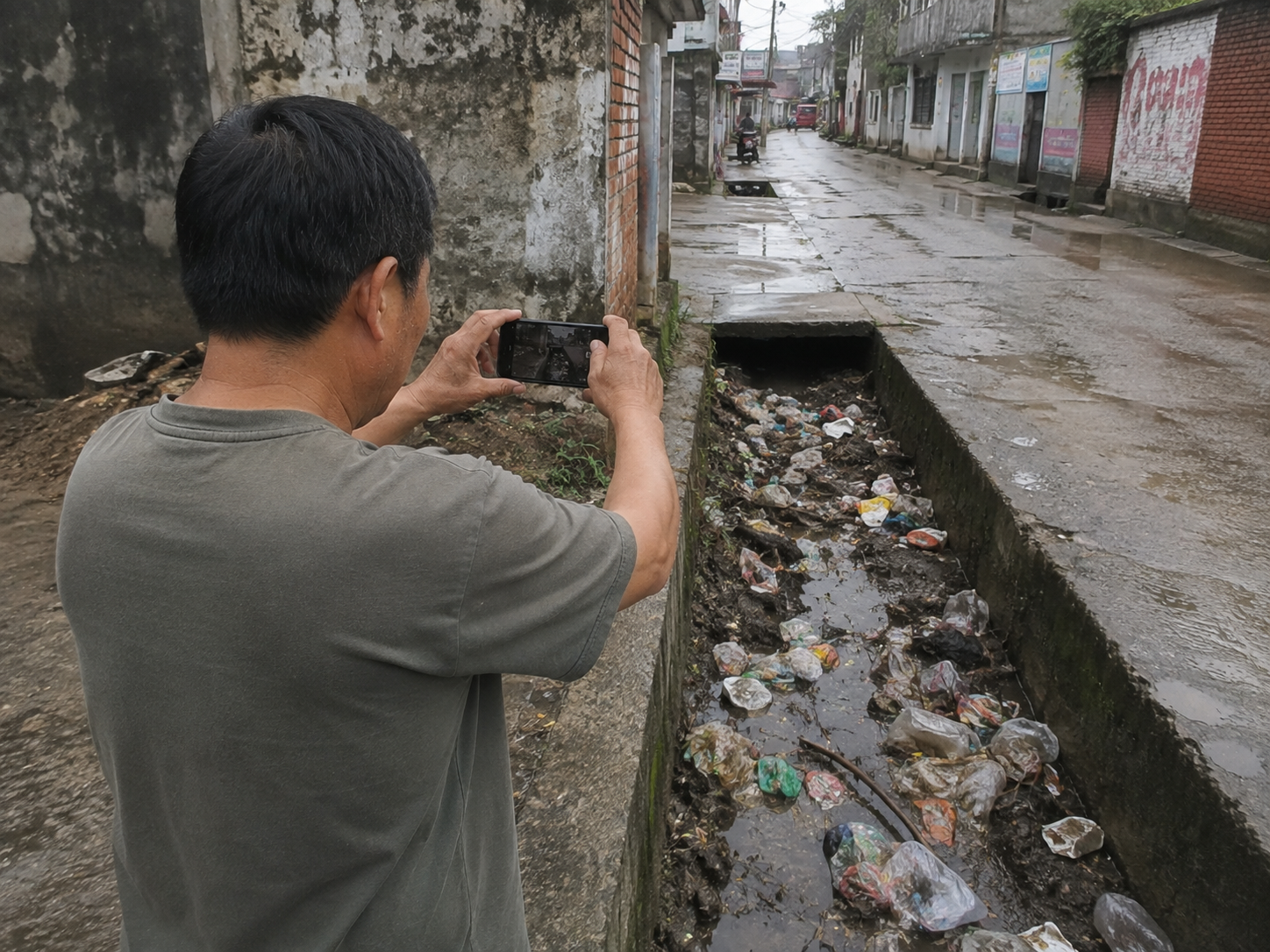
Do you walk past block drain every morning? That is a flood risk, but the data is not on officially on record.
Can you see how the tree canopy near the park has been stripped? Maybe the next satellite map will update. Twice a year.
You know the problem. The authorities do not. They need better data so they can do their jobs - disaster management, environmental protection - so we are all ready and better prepared. Communities are the best placed to tell their local authorities how to help.
Periodic data is a risk
Satellite imagery and physical periodic inspections can only be gathered periodically. So maps and datasets are updated in cycles or after a disaster incident, such as a heavy rain. An illegal clearing can quickly become a mudslide before the next visit by the local authority. A weak tree canopy is just waiting for the next storm to crush a parked car.
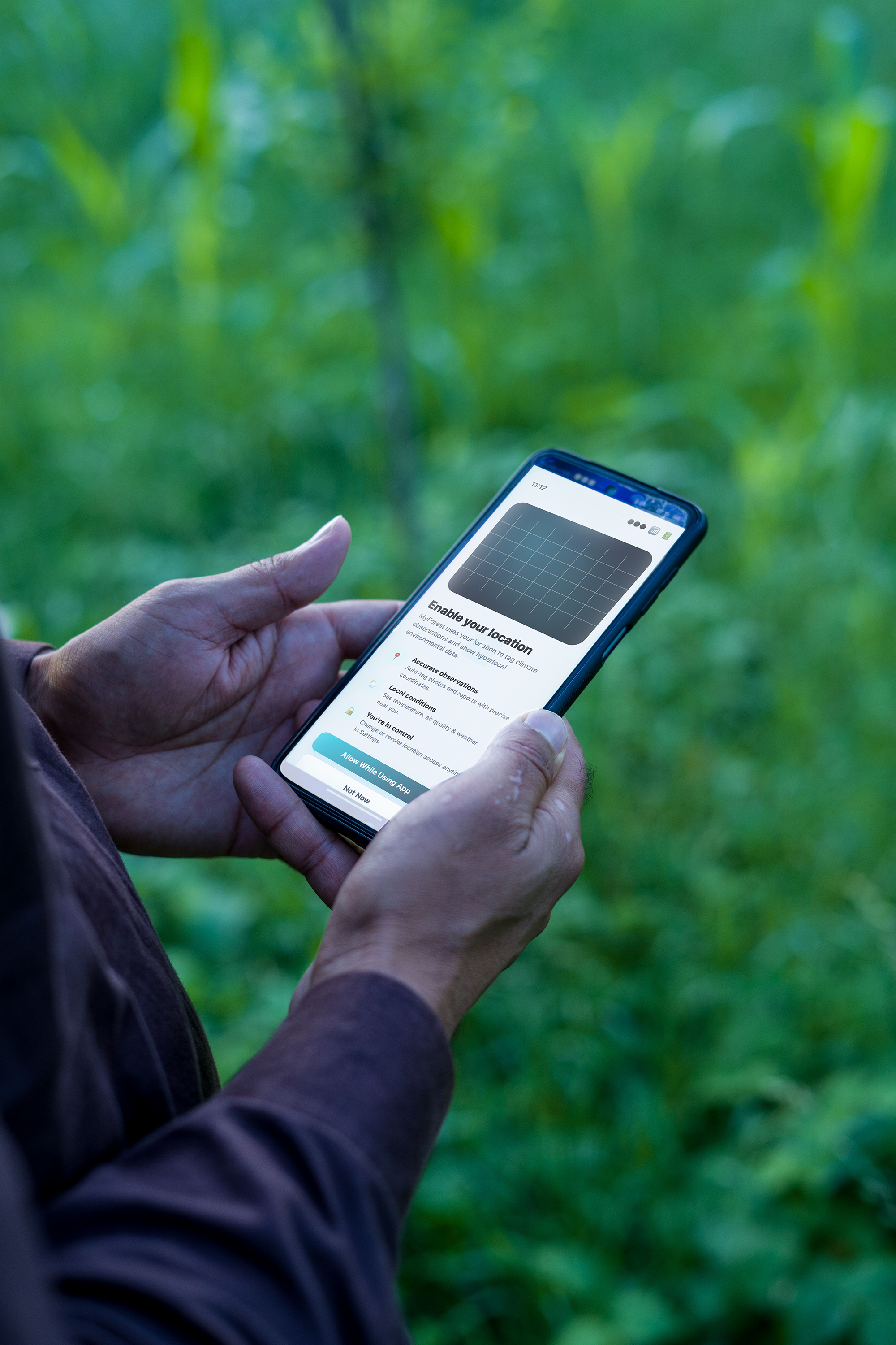
MyForest trains local community observers to regularly submit geotagged, timestamped photographs from their neighbourhood. Every observation is verified by image analysis, against GIS mapping and updated through expert review. It is then immediately added to the biodiversity and environmental risk intelligence dataset for that location.
This is a continuous picture of ecosystem health. Everyday, with every community observer, the picture is refreshed.
MyForest observers track four conditions:
River and riparian ecosystem health
Is the bank eroded, is there any debris? What is the water quality?
Forest canopy and edge conditions
Is there encroachment, illegal clearing, or storm damage?
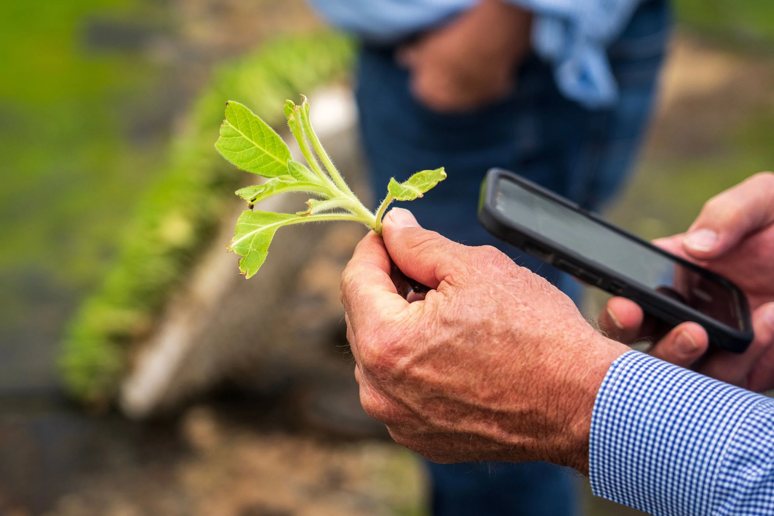
Biodiversity and wildlife movement
Have plant, insect or animal species been affected in my area?
Drainage and hydrological conditions
Are there blockages or other early indicators that could cause flash flooding?

A MyForest community programme runs for 9-12 months and has 4 phases.

Phase 1
Community mobilisation and training
Residents who regularly walk through their area can join as Observers. They are trained on how to identify risk indicators and about staying safe as they observe.
MONTH 1 – 2Phase 2
Active observation
Observers collect data daily as they walk around. One or two pictures of risky things. All pictures are aggregated, correlated and mapped. Risk flags are escalated to the local authority as they happen.
MONTH 2 – 8 (5 MONTHS)Phase 3
Validation and analysis
Submissions are checked - analysed, mapped, cross-referenced against council and infrastructure records.
MONTH 8Phase 4
Reporting and partner briefing
Community data adds a rich dimension to reports from the local council, government agencies, and sponsors' specific locations. An early report on a possible flood will allow people and businesses to prepare themselves.
MONTH 9Built for Reporting
Are you a large business? Does your Annual Report make a claim about how you work with your community or protect the environment? MyForest is your evidence - verified, ground-truth data supports reporting against IFRS S2, the Science Based Targets initiative, the UN Global Compact, and NDPE commitments. This data plugs directly into these frameworks for your organisation to show how you work and what are the results.
Your organisation can sponsor a corridor adjacent to your own community. You get a compliance dataset for reports, which is also an early-warning for risks to your property, assets and customers.
Target: national monitoring network
Each MyForest cycle is a module. From training observers to reporting what they find, is built for replication. One urban corridor observing a city river system transposes to a farming community in the highlands, and grows a national network. Early sponsors shape the module methodology that others can follow wherever the model gets replicated.
Frequently Asked Questions
-
A MyForest community intelligence programme runs for 9-12 months. Local community observers are trained to regularly submit geotagged, timestamped photographs from their neighbourhood.
-
Every observation is verified by image analysis, against GIS mapping and updated through expert review. It is then immediately added to the biodiversity and environmental risk intelligence dataset for that location.
-
MyForest produces geolocated, timestamped, and independently verified field evidence that maps directly onto IFRS S2 physical risk requirements, SBTi and UN Global Compact reporting, and NDPE site-level monitoring commitments.
-
MyForest is designed to run across the Klang Valley, Johor, and Penang. The model is built to scale to additional river systems, highlands, and eventually a national network.